
Stockton Neighbor Records Around One Address
The first question in a Stockton neighbors search is what “nearby” means. A shared parcel boundary is different from a parcel across a street. A planning neighborhood is different from a ZIP. A mailing address is different from a physical situs. The record set below keeps those meanings apart.
| Block source | What it shows about a block | Access |
|---|---|---|
| Parcel and GIS map | Shared boundaries, APNs, and physical geography | Map click, with parcel limits |
| Assessment inquiry | Assessee, value, and displayed mailing fields | Query each parcel by address or APN |
| Issued permits | Project history, dates, status, and public contacts | Open data, export, or request |
| Recorder index | Ownership transactions and instrument parties | Name index; legal description cross-check |
| Historic directories | Past occupants or subscribers by street | Historical Museum and library collections |
| Great Registry of Voters | Historical registered voters and address clues | Museum archive; not a modern browse tool |
| Neighborhood polygons | 16 General Plan planning areas | City dataset; no member directory |
These sources can describe a block without creating a full resident roll. A parcel record may show an owner or mailing destination. A directory may show a household for one year. A permit may show a project contact. A Great Registry may supply historical voter information. The label and date belong with every result.
Note: A Stockton neighbors result is clearest when the map boundary and record purpose are written beside each name.
Map a Stockton Block by Shared Parcels
The adjacent-parcel method is the most defensible way to map Stockton neighbors. Locate the target address in the county GIS, zoom until parcel lines display, record the target APN, and click each parcel that shares a boundary. Open the linked assessment or land record for each APN. Mark parcels behind the target, across a street, or separated by a waterway as nearby rather than adjacent.
- Find the target address and confirm its situs label.
- Save the target APN and legal description.
- Click every shared-boundary parcel and record its APN.
- Run each APN through the Assessor inquiry and retain the displayed fields.
- Use permits, deeds, or historical directories only when their record purpose fits the question.
A formal buffer tool was not documented in the research. Map browse and click is the supported fallback. The process is slower than a single list, but it shows which parcels were actually included and why.
The San Joaquin GIS catalog is the map starting point. The full named-street chain belongs in the Stockton street directory, while this neighbor lookup stays with the immediate block.
Note: Shared boundaries define the block method, while nearby parcels across a street remain a separate geographic category.
Stockton GIS Neighborhood Polygons
Stockton's official Neighborhoods dataset contains 16 polygon rows with Neighborhood, MapID, and geometry fields. The boundaries reflect General Plan 2040 planning areas. They help describe a broad setting, but they do not identify every resident, an HOA, or a civic member. They are not ZIP codes and do not override parcel or municipal boundaries.
Use a polygon as a geography note. If a target parcel sits near an edge, save the polygon name and compare the parcel map. Distinctive areas such as Downtown and Civic Center, Victory Park, Pacific and UOP, Lincoln Village, Brookside, Spanos Park, Weston Ranch, east and south Stockton, and Morada or fringe areas cross different development eras and sometimes postal or city boundaries.
The planning layer is strongest for describing where a block sits. It is not evidence of who belongs to that area. A resident question still needs a custodian whose records actually contain the relevant people or parcel field.
Assessment and Recorder Clues for Stockton Neighbors
After the GIS step, query each APN in the Assessor inquiry. Save displayed assessee, value year, ownership fields, mailing address, and legal description. The mailing destination may be a trustee, accountant, PO box, company, or outdated address. It can guide a next search, but it does not prove that the person lives at the parcel.
For ownership history, move from APN and legal description to the Recorder name index. The Recorder searches parties, not a street-wide map. Search the current party as a likely grantee, open the acquisition instrument, and test the earlier grantor as a prior grantee. The online index starts January 1, 1968, while office holdings reach 1851.
Deeds, deeds of trust, liens, releases, and reconveyances have different roles. A trust, company, or agent may appear in a record. Read the instrument type before calling a name a neighbor or a current owner. Keep the parcel ID beside every name.
Historic Stockton Blocks in Reverse Directories
Historical directories show a block at a chosen moment. The San Joaquin County Historical Museum's city and county run spans 1852 to 1980. Alphabetical entries can provide names, occupations, spouses, and addresses. Criss-cross pages reorder the evidence by street and house number. Telephone directories identify subscribers. Great Registries of Voters add an older historical roll, although exact volume years need an archive inventory.
Use a reverse directory to compare the target number with nearby numbers, then test the same names in the alphabetical pages, newspaper microfilm, deeds, assessment books, or census schedules. A missing name may indicate a gap in publication, a move, an address change, or an abbreviation. It does not prove that a home was empty.
The directory shelf is the right tool for a historic block. A modern parcel map is the right tool for current geography. The two can be paired, but neither should be made to answer the other's question.
Stockton Voter Data Is Not an Open Neighbor List
California My Voter Status is a personal verification tool. It can return a voter's registration status, registered address, party preference, language preference, polling information, and vote-by-mail or provisional status after identity details are supplied. It does not show ballot choices and does not let a stranger browse every voter on a Stockton block.
Release of voter information follows Elections Code sections 2180 through 2194.1. The permitted purposes are election, scholarly, journalistic, political, or governmental. Commercial use is prohibited. License and Social Security numbers, signatures, confidential voters, and other protected identifiers are withheld. A “specific record” identifies a known voter, not unknown residents around an address.
The San Joaquin Registrar of Voters office page supplies the local office context.
The office view clarifies that voter records are a regulated election service, not a public neighbor directory.
The California voter registration rules explain the state framework behind that limit.
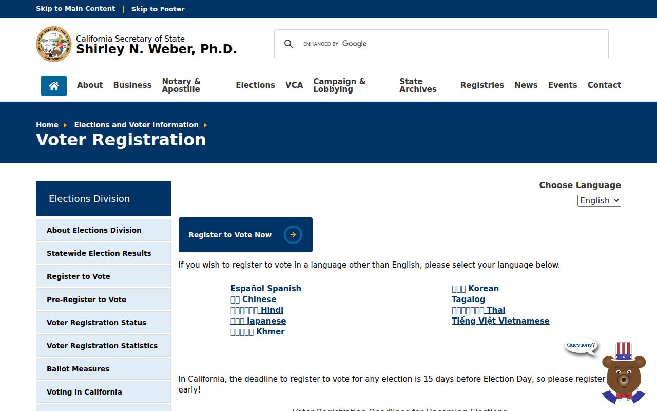
Use the personal status tool for the person who is checking their own registration, and use a records request only for a documented permitted purpose.
Note: Voter status confirms a personal registration record; it does not create a public Stockton neighbor list.
Community Contacts, Not Membership Rolls
Neighborhood associations, HOAs, congregations, block-watch groups, veterans' groups, fraternal organizations, and chambers may publish a contact person or meeting information. The research did not locate an authoritative citywide association inventory or member directory. A public officer is not a full membership list, and an archival roster may have donor or privacy conditions.
Stockton's community history can still add a human layer. The Manila Club and Hotel collection, Chinese-language business records from 1879 to 1933, social-club material, and manufacturing collections can connect people to a block or organization when the records are voluntarily open. Ask the holding repository about access, language, and reproduction rules.
The Registrar contact directory demonstrates the difference between a public office contact and a resident roster.
Contact information identifies an office channel. It does not disclose the people who live near a voting office or belong to a private organization.
Safe at Home and Protected Stockton Neighbors
Safe at Home protects qualifying participants through a substitute mailing address. California confidential-voter registration prevents voter information from being released for those protected records. Government Code sections 6205 through 6216 govern the program. A substitute or blank address is therefore not evidence that someone lacks a Stockton connection.
Other household details remain outside the public block trail. Utility customer information, delivery data, school records, private association rosters, and protected DMV addresses are not open resident lists. A parcel map can show land. It cannot reveal every person who uses the building.
The Safe at Home governing-law page supplies the statutory context for protected addresses.
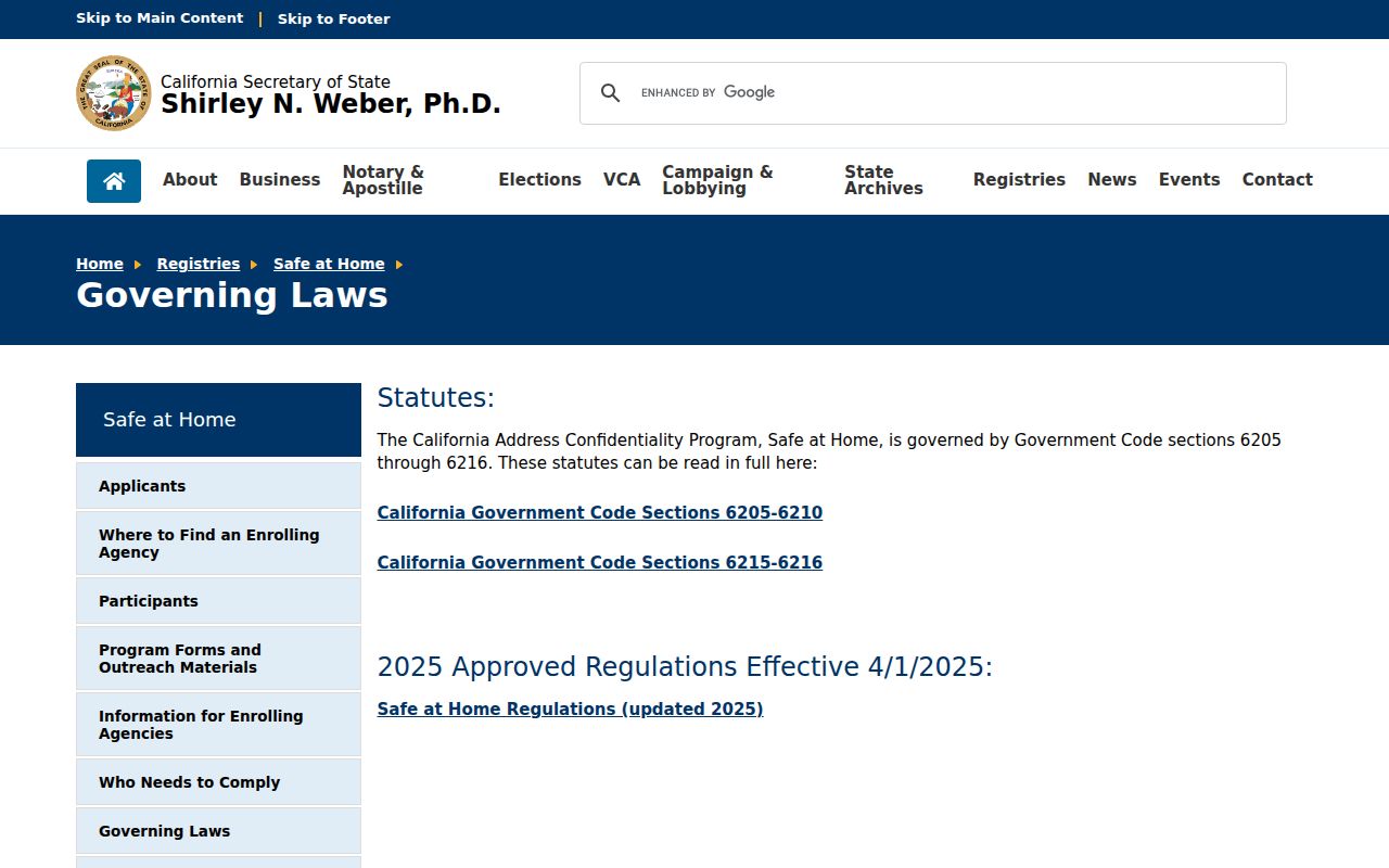
The program is a reminder to leave protected people out of a neighbor search rather than trying to defeat the confidentiality design.
Privacy Limits on a Stockton Neighbor Lookup
A Stockton neighbor lookup should describe the boundary of the search. Official records may show APNs, assessee fields, mailing destinations, project contacts, recorded parties, or past directory entries. Commercial compilation tools may combine mixed public and proprietary inputs, merge similar names, omit recent changes, and miss people whose records are protected. Neither category is a live census of a block.
| Record category | Strength | Limit |
|---|---|---|
| Official parcel, assessment, deed, permit, or directory record | Named custodian, stated purpose, and traceable record context | Scope is narrow and may exclude occupants or protected people |
| Commercial compilation | May assemble leads from several inputs | Can be stale, merge names, omit protected people, and is not official proof |
The California Public Records Act, Government Code sections 7920.000 through 7931.000, supports focused requests for existing records. It does not require an office to create a new list of neighbors. Name the department, record, date range, address, project number, or map layer. Ask the custodian when a displayed result needs correction.
Lawful use. Use Stockton neighbor records for block history, property research, civic understanding, and safe personal connection. Do not use them to stalk, harass, intimidate, or harm anyone.
Stop when the next step would require protected, private, or purpose-limited data. A clear account of what the map and records show is more useful than a guessed list of people.