
Trace a Stockton Street from Address to Evidence
A Stockton street directory search should move from a fixed address to a fixed parcel. Start with the exact street number, direction, suffix, and unit. The county Assessor inquiry accepts Street Address, Assessment, or Fee Parcel searches. Save the APN and legal description. Then use the county GIS and Surveyor tools to see the parcel's position and related map records. A name-based deed search comes after the parcel is known because the Recorder index is organized by people, not by an address browse function.
This order also keeps the meaning of each name clear. The assessee is tied to an assessment record. The Recorder's grantor and grantee are parties to an instrument. A permit applicant or contractor is linked to a project. A directory entry identifies a household or subscriber for a printed year. None of those labels, alone, proves who is present now.
- Normalize the street address, including directional letters, suffixes, apartment numbers, and old unit labels.
- Search the San Joaquin property inquiry and save APN, value year, displayed owner fields, mailing fields, and legal description.
- Open the San Joaquin GIS catalog and click the target parcel and each shared-boundary parcel.
- Use the APN and legal description to search the Recorder's name index and build any deed chain.
- Filter Stockton permit rows by address, then use reverse directories and newspapers for earlier occupants.
The result is a street-level evidence path. It can show who is connected to a parcel or record. It cannot turn a Stockton street directory into a live household census.
Note: The APN is the bridge from a Stockton street address to county maps and recorded instruments, not a current household roster.
Stockton Records Searchable by Street
Address-keyed records are useful because they begin with a place rather than a person's spelling. Stockton's most practical set combines the Assessor inquiry, GIS parcel maps, city permits, Recorder instruments reached through the APN, and historical directories. A street-wide owner list is not documented in the Assessor form. The defensible way to cover a block is to enumerate house numbers or click parcels one by one.
| Address source | Local keeper | What a street search can show | Access note |
|---|---|---|---|
| Assessment inquiry | San Joaquin County Assessor | APN, assessment fields, displayed assessee and mailing fields | Street Address, Assessment, or Fee Parcel |
| Parcel and map viewer | County GIS and Surveyor | Parcel shape, shared boundaries, plats, DD index and land records | Map pan and click; office fallback |
| Issued Permits | Stockton Community Development | Record ID, permit class, dates, address, detail, and status | Filter, export, or OData access |
| Recorded documents | County Recorder | Parties and ownership trail after APN or legal-description match | Name index from 1968; older counter holdings |
| Reverse directories | Historical Museum and library | Past occupants or subscribers by street and number | Printed collections, gaps, and abbreviation keys |
The street directory question changes with the goal. A parcel question calls for the Assessor. A building-change question calls for permits and Sanborn maps. A past-household question calls for the printed shelf. A whole-street question requires a repeatable parcel list rather than a guessed roster.
Stockton Property Inquiry Fields
The county property inquiry has a narrow but useful field set. It is not a public owner-name directory. Search by the field that can be verified, then save the result before moving to another custodian. A changed street label can hide a match, so preserve the exact form used as well as the normalized form.
| Assessment | Assessment number search for a known county identifier. |
|---|---|
| Fee Parcel | Parcel-number search for a known taxable tract. |
| Street Address | Address search; test directionals, suffixes, and unit details. |
| Owner name | No advertised public web field; use the Recorder name index or a counter/data-product route. |
| Record to keep | APN, valuation year, legal description, displayed ownership or mailing fields. |
The Assessor inquiry entry page is the visual entry to the address, Assessment, and Fee Parcel modes.
That screen makes the address-first design plain. It supports a parcel lookup, not a promise that every person at the address will be named.
Situs and Mailing Addresses in Stockton
A situs address is the physical parcel label. A mailing address is the destination for tax or other correspondence. They may differ. The mailing field can point to a trustee, accountant, PO box, management firm, or former address. It is a valuable locate clue when public, but matching the mailing address to the situs does not establish owner occupancy.
Address normalization matters in Stockton's older and newer areas. Preserve directionals, street suffixes, apartment numbers, lot references, and subdivision names. A street can cross a city limit, a postal boundary, or a development era. The legal description and APN are more durable than a ZIP or an informal neighborhood label.
The San Joaquin Assessor overview gives the county context for assessment-roll work.
Use the office overview to confirm which county unit owns the next record, then carry the same APN or legal description into the map and deed search.
- Situs
- The physical place where the parcel is located.
- Mailing address
- The destination attached to an assessment or correspondence record.
- APN
- The assessor's parcel identifier used to connect map and assessment systems.
- Plat
- A recorded map that shows lots, blocks, streets, and subdivision geography.
- Criss-cross directory
- A historical address-order directory that can show listed occupants or subscribers by street.
Note: A mailing address can guide research while still pointing somewhere other than the physical Stockton parcel.
Stockton Parcels on the County Map
The San Joaquin GIS catalog links district, assessment-map, Surveyor land-record, and other viewers. The map is most useful when it is treated as a parcel index. Locate the known address, zoom until the boundaries display, record the APN, and click the parcels that share a boundary. Parcels across a street are nearby but do not share a boundary, so note that difference.
Surveyor records add plats, surveys, and DD index sheets. The research notes say DD sheets were updated through 2007 and remain viewable through the Surveyor map, while newer maps belong in the Surveyor Land Records System. A subdivision reference may therefore appear in one interface but not another. Keep the map name and date with the result.
The Surveyor Land Records System explains the map-and-plat side of a Stockton street directory search.
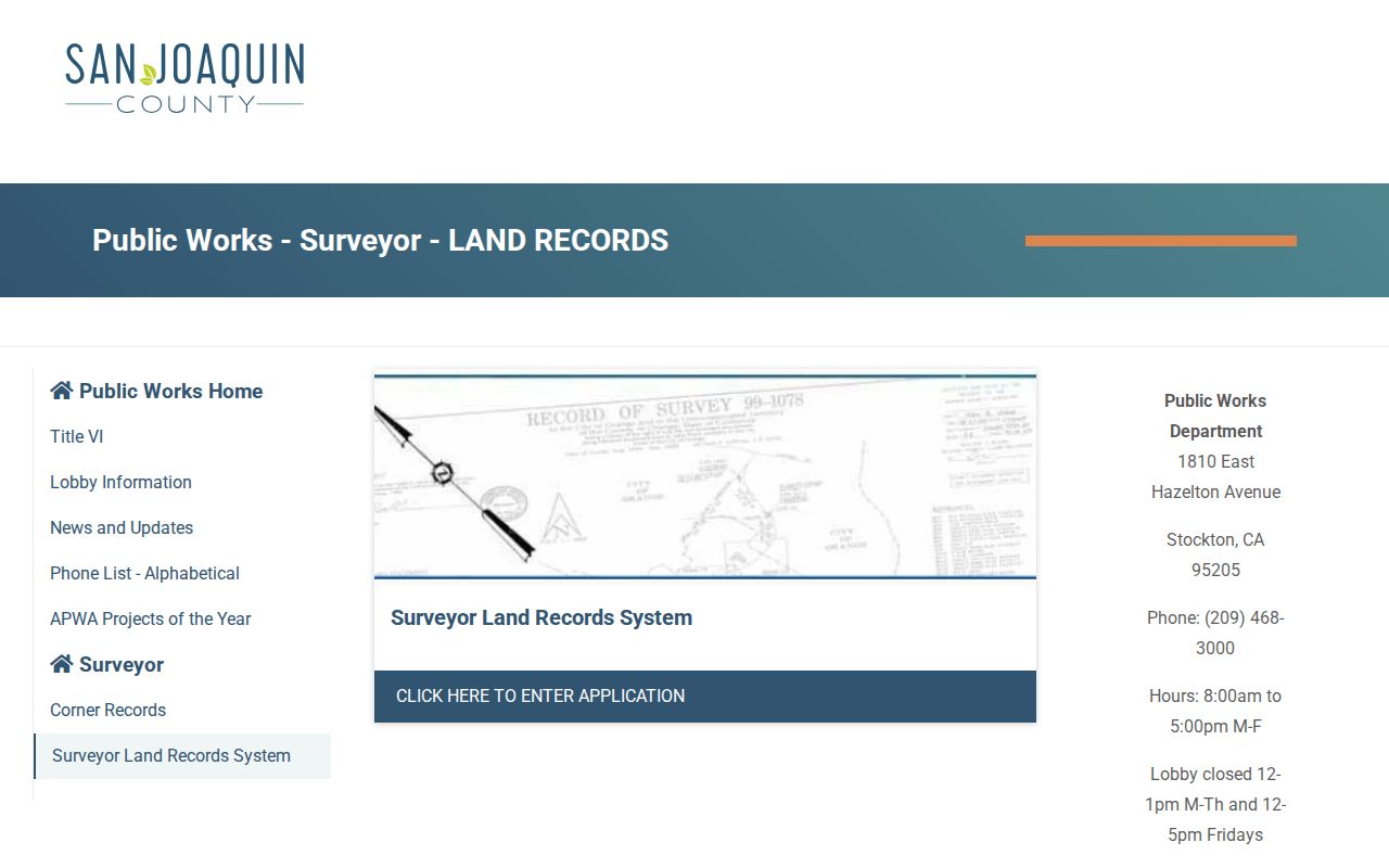
The land-record view supplies the durable map clue that helps a street search survive a changed label or an old subdivision name.
For an adjacent-parcel workflow, the chain is simple: address, APN, shared boundary, assessment record, legal description, and then any recorded instrument or permit tied to that parcel. That is a map process, not a claim about who is physically present.
Stockton Deeds Are Indexed by Person
The Recorder's online Grantor-Grantee Index begins January 1, 1968. It searches people and document references. An address alone will not return a complete deed chain. Start with the current assessee or a known party, open the likely acquisition deed, and compare the grantor, grantee, legal description, recording date, and instrument number. Search the earlier seller as a grantee to move backward.
Recorder numbers use a local pattern: 2000-forward numbers begin with a four-digit year, while older numbers use a two-digit year. External “SQ” prefixes should be removed before searching. The office holds earlier books, maps, and deeds back to 1851, with counter digital or film access for pre-1968 material.
The recording and retrieval instructions show the difference between an index hit and an ordered or inspected document.
When a street directory result depends on title history, the legal description is the bridge. A deed of trust, lien, release, or reconveyance has a different role from a grant deed, so the document type must be read before drawing a conclusion.
Note: The Recorder index identifies parties and references; the underlying document carries the stronger title evidence.
Read Stockton Permit Rows by Address
Stockton's Issued Permits dataset contained roughly 67,500 rows and 14 columns when inspected. It was created May 12, 2021 and last updated January 15, 2025 in the research capture. The dataset supports filters, downloads, OData, and API access. Address fields can be searched for a street segment, then sorted by opened date, permit type, subtype, and status.
A permit row can name a project contact, applicant, contractor, or responsible party. That is an affiliation with work at an address, not proof of residence. The record ID is the key for a follow-up request to Community Development when the public row lacks a detail needed for the house history.
Permit dates can explain when an addition, alteration, or other project entered the city's workflow. Pair them with the parcel map, recorded documents, and a Sanborn sheet before treating a structure as unchanged or a street label as stable.
| Opened Date | When the permit application was submitted. |
|---|---|
| Record ID | Unique identifier for the permit row and follow-up request. |
| Permit Type and Subtype | Broad and narrow work classifications. |
| Address fields | Street text used to locate activity; normalize variants before filtering. |
| Status and detail | Workflow state and any displayed commercial or project detail. |
These rows make a Stockton street directory more useful for building history, while keeping project contacts separate from parcel ownership and household identity.
The Stockton issued-permits dataset shows the address-keyed public-data view used for a street segment.
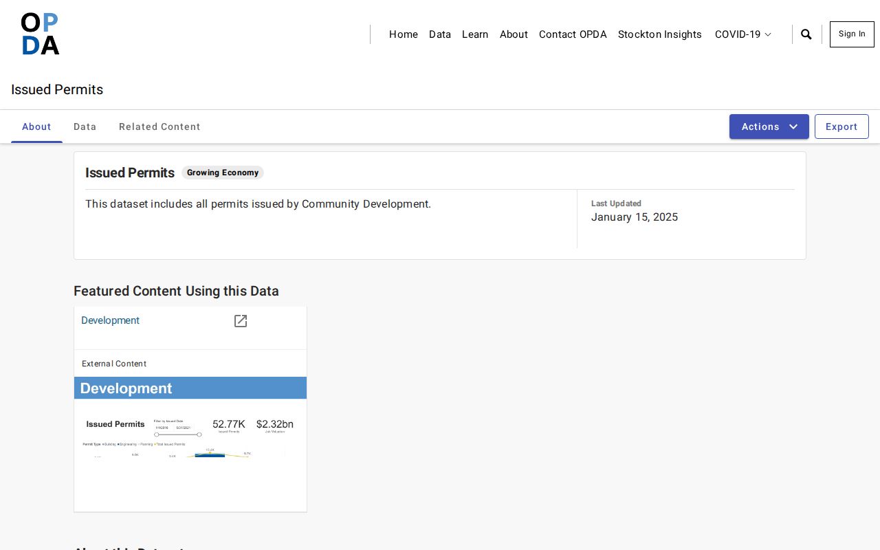
The dataset view makes the filter and export path visible while leaving the underlying project file with Community Development.
Note: An address-keyed permit can show a dated project affiliation without naming every person who used the property.
Street Directories Before the Web
The Historical Museum's city and county directory run spans 1852 to 1980. Alphabetical entries can show a name, spouse or family notation, occupation, business, and address. A criss-cross directory reorders evidence by street and house number. A telephone book can help with a subscriber trail, but it does not list every household member. The front matter defines abbreviations, and that key should be captured before interpreting “rem,” “r,” “h,” or “wid.”
The 1930 R. L. Polk title page promises a street and avenue guide, directory of householders for Stockton and Lodi, rural routes, numerical telephone pages, and classified business pages. The digitized index also lists Husted and Polk-Husted volumes, later R. L. Polk years, and a 1931-32 Matthews-Muldowney-Lucas run. Some years are only indexed online; verify a physical volume before assigning a specific reverse section to Stockton.
The Stockton city directory collection page owns the volume-by-volume historical shelf. The Stockton street directory uses those volumes only when a current address trail needs an earlier occupant clue.
A gap in one year may mean nonpublication, omission, relocation, a changed number, annexation, or a spelling change. Treat absence as a question to test, not a final answer.
Note: A reverse directory entry is dated subscriber or household evidence, so compare it with a second source.
Stockton ZIP and Boundary Clues
Postal geography can help normalize an address, but a ZIP is not a parcel boundary. Stockton-serving standard ZIPs include 95202, 95203, 95204, 95205, 95206, 95207, 95209, 95210, 95212, 95215, and 95219. Associated PO-box, unique, or nonstandard codes include 95201, 95208, 95211, 95213, 95267, 95269, 95290, and 95297. Confirm a live address with USPS and confirm city jurisdiction with parcel GIS.
That distinction matters along northern, eastern, southern, and rural edges. A Stockton mailing city can reach land outside incorporated Stockton. A unique code can identify an institution rather than a neighborhood. The legal description, APN, and map boundary should control a street record search when postal and municipal labels disagree.
The Stockton ZIP code directory separates postal lookup from street-level parcel work so a ZIP does not get mistaken for a resident list.
What a Stockton Street Directory Cannot Show
A Stockton street directory cannot name every person who enters or lives at an address. The parcel roll may omit household members. The deed index may show a trust, entity, or former owner. A permit may show only a project contact. A reverse directory may reflect one print year or a phone subscriber. Utility and delivery records are not open household lists, and DMV addresses are protected under the federal Driver's Privacy Protection Act.
Safe at Home participants may use a substitute address, while confidential voter records remain shielded. Neighborhood labels describe planning geography, not membership. When a result is missing, verify the source's scope before assuming the person moved or never had a connection.
Lawful use. Use Stockton street records for family history, property research, civic understanding, or safe personal reconnection. Do not use a street directory to stalk, harass, intimidate, or harm anyone.
The custodian is the only proper route for a certified copy or a correction. A clear record note should state the address, source, access date, record number, and the exact fact the source does or does not support.