
Stockton ZIP Codes by Coverage
Stockton-serving standard ZIP codes in the research set are 95202, 95203, 95204, 95205, 95206, 95207, 95209, 95210, 95212, 95215, and 95219. Routing publications also associate Stockton with 95201, 95208, 95211, 95213, 95267, 95269, 95290, and 95297. The second group includes PO box, unique, facility, or other nonstandard status and should not be read as ordinary neighborhood boundaries.
| ZIP | General Stockton coverage | Postal facility or status | Boundary caution |
|---|---|---|---|
| 95201 | Stockton PO boxes | PO-box ZIP | Not a geographic resident boundary |
| 95202 | Downtown, Civic Center, central waterfront | Downtown delivery | Confirm parcel jurisdiction |
| 95203 | West-central Stockton, Victory Park, port vicinity | Street delivery | Industrial and residential mix |
| 95204 | North-central, Pacific, and UOP-adjacent areas | Street delivery | UOP may use unique 95211 |
| 95205 | East Stockton and county fringe | Street delivery | City and county edge needs a parcel check |
| 95206 | South Stockton, Weston Ranch, French Camp fringe | Street delivery | Postal city and municipal line diverge |
| 95207 | North-central and Lincoln Village area | Street delivery | Nearby county areas can share Stockton mailing city |
| 95208 | Special or unique Stockton code | Verify institution or addressee | Not a normal neighborhood polygon |
| 95209 | North and northwest Stockton | Street delivery | Annexed growth areas |
| 95210 | Northeast Stockton | Street delivery | City and county edge needs a parcel check |
| 95211 | University of the Pacific | Unique or institutional | Not neighborhood-wide |
| 95212 | Northeast growth and Morada vicinity | Street delivery | Postal city can extend beyond city limits |
| 95215 | East and southeast rural county with Stockton postal name | Street delivery | Many addresses are outside Stockton city |
| 95219 | Far west and northwest, Brookside and Spanos areas | Street delivery | Waterways, subdivisions, and annexation matter |
| 95213 | Airport sorting or delivery facility | Facility routing | Not a normal neighborhood polygon |
| 95267, 95269, 95290, 95297 | Stockton-associated routing | Nonstandard status needs live USPS check | Assign no neighborhood or population |
This table is a research map, not a live postal guarantee. Verify the complete address and current delivery status before using a ZIP code in a record request or directory search.
Note: A Stockton ZIP code directory should label routing status before treating a code as a geographic area.
Stockton PO Box and Unique ZIP Codes
95201 is identified as a Stockton PO-box ZIP. 95211 is associated with the University of the Pacific. 95208 is described as a special or unique code whose institution or addressee needs verification. 95213 is tied to an airport sorting or delivery facility. These codes can route mail without defining a cluster of homes, so a Stockton ZIP code directory must label them by function.
A PO box is a postal receptacle, not a situs address. A unique ZIP may serve one institution or a narrow operational purpose. A carrier route is a delivery route within a ZIP, not a municipal boundary. ZIP+4 adds delivery detail to a five-digit ZIP, but it does not replace the parcel's legal description.
- ZIP code
- A five-digit postal routing area used for mail delivery.
- ZIP+4
- An added four-digit delivery segment that refines the postal address.
- PO-box ZIP
- A code used for post-office boxes rather than a normal street area.
- Unique ZIP
- A code assigned to a particular institution or narrow recipient group.
- Carrier route
- A delivery path inside a postal area, not a list of residents.
Never infer a home address, neighborhood, or city-limit location from a PO box or unique code alone. Ask USPS to validate the mailing address and use county parcel data for the physical place.
Verify a Stockton ZIP Before Searching
The USPS address-to-ZIP tool is the right first check for a mailing ZIP. The county GIS is the right second check for municipal geography. The documented Assessor form does not offer a ZIP-wide search. City permit data can be filtered or exported where address fields include a usable ZIP, but that output is project data, not a resident list.
- Write the full street number, street name, suffix, unit, city, state, and ZIP shown on the record.
- Run the USPS ZIP Code Lookup and save the returned mailing form.
- Compare the address to the county GIS parcel and boundary layers.
- Use the Assessor address mode or APN once the physical parcel is clear.
- Move to a street directory or deed search only after the postal and parcel labels agree.
For a visual starting point, the USPS form shows the address-first task used by a Stockton ZIP code directory.
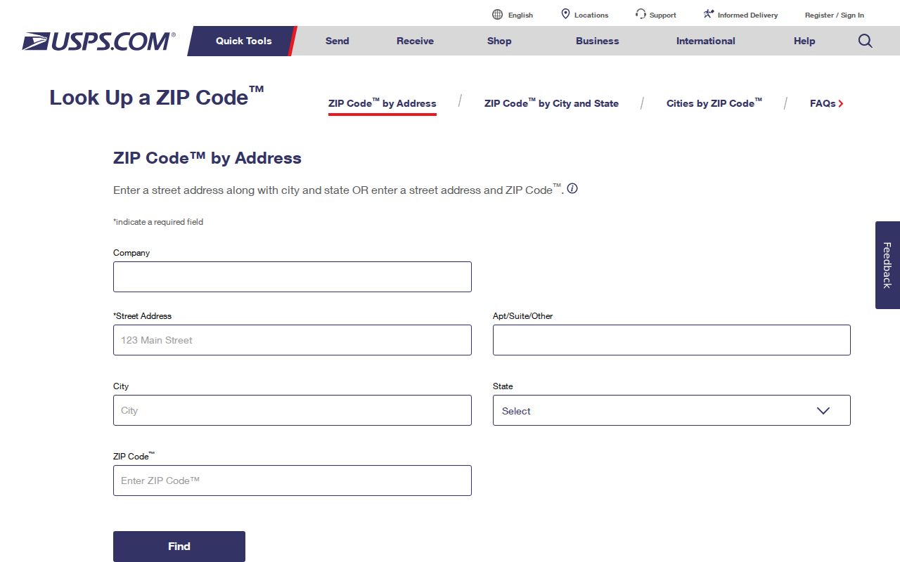
The postal result validates delivery routing. It does not say that a parcel is inside incorporated Stockton or that a person lives there.
Note: USPS validates the mailing label, while county GIS validates the physical Stockton parcel and jurisdiction.
Stockton ZIP Maps and Parcel Jurisdiction
The San Joaquin GIS catalog links district, assessment-map, Surveyor, and other viewers. Use parcel geometry to determine whether a Stockton postal address sits inside a city boundary, in an unincorporated area, or near a waterway or development edge. The map can also connect an address to an APN, subdivision, and legal description.
The city's official Neighborhoods dataset contains 16 General Plan 2040 polygon rows with Neighborhood, MapID, and geometry fields. Those polygons are planning areas. They are not ZIPs, resident rosters, HOAs, or proof of membership in a community. A ZIP code directory should keep the layers separate instead of treating a planning label as a postal one.
The San Joaquin GIS viewer catalog provides the map entry point.
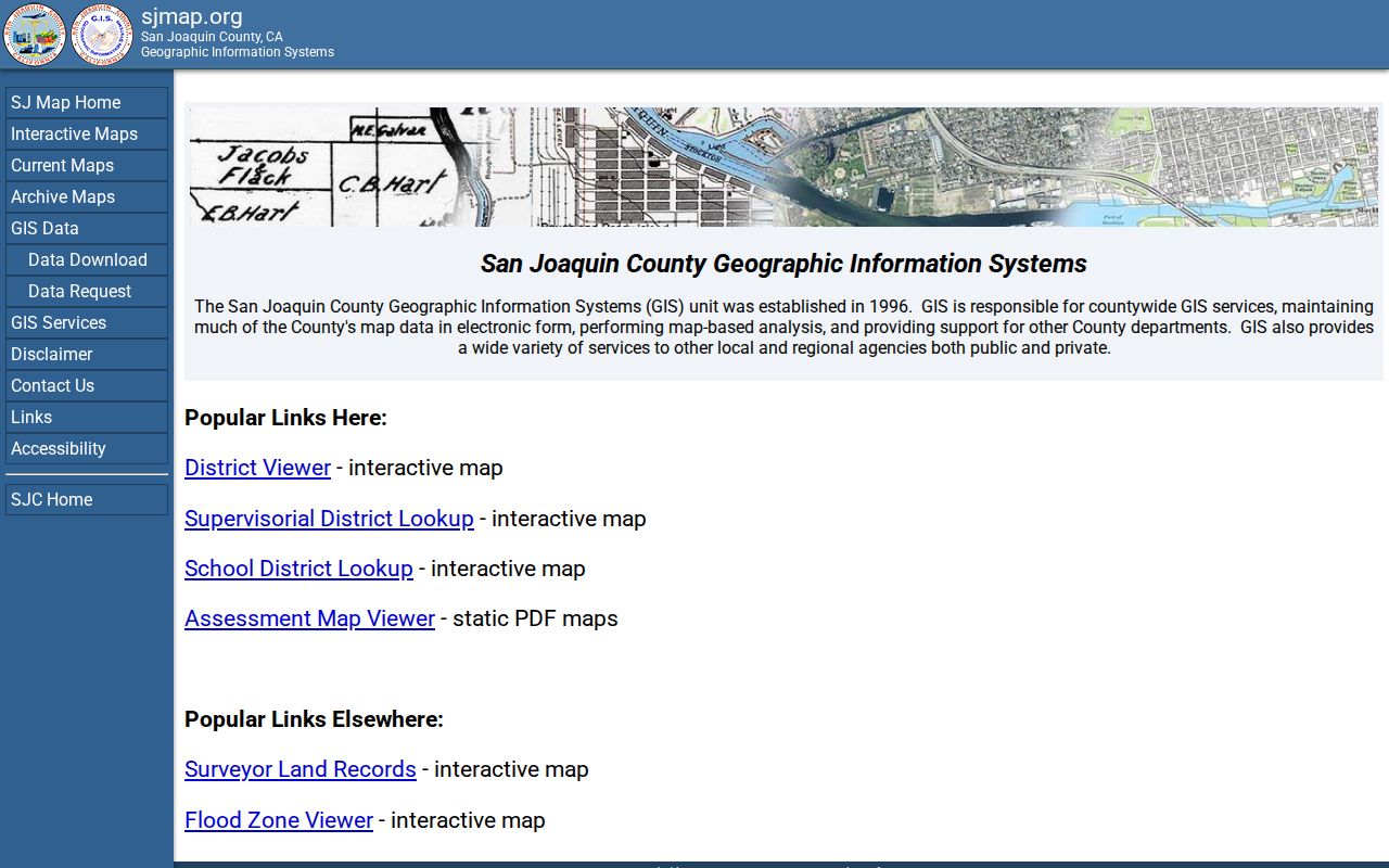
The parcel map is the stronger boundary check when a Stockton mailing city reaches beyond the incorporated city line.
The Stockton Neighborhoods dataset supplies the planning-polygon view used beside the parcel map.
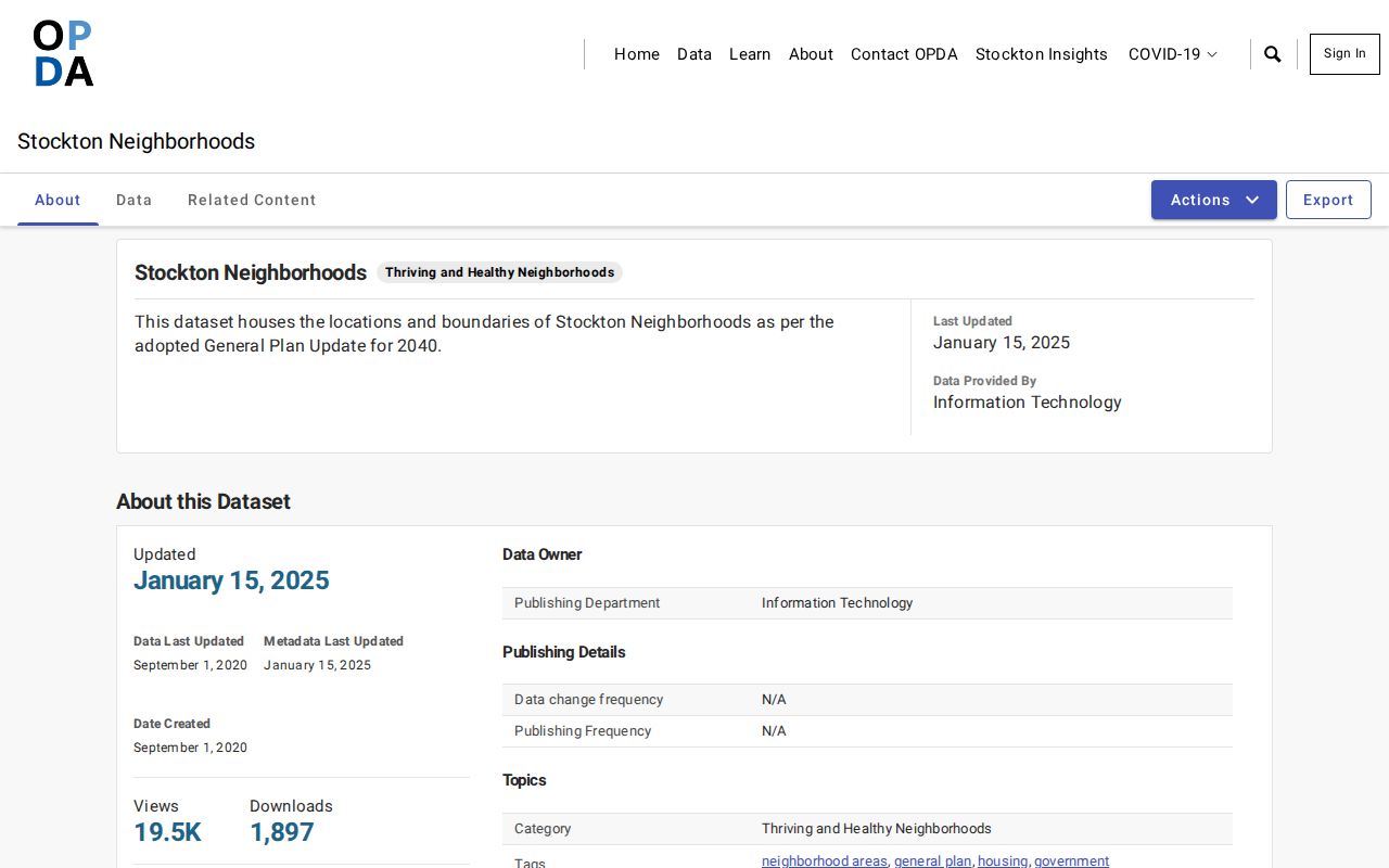
The 16 General Plan areas add context, but they are not ZIP boundaries or resident lists.
Note: ZIP geography answers where mail routes, while parcel geography answers where land lies.
Downtown Stockton ZIP 95202 and the Core
ZIP 95202 covers Downtown, the Civic Center, and the central waterfront in the research map. It is a compact core with a mix of public buildings, businesses, older blocks, and residential places. The ZIP can narrow a historical question, but the parcel and legal description still decide which county or city record applies to an address.
Downtown geography also has a long paper trail. Stockton was founded by Captain Charles M. Weber in 1847 and became the San Joaquin County seat. Recorder maps and documents reach 1851. City and county directories span 1852 to 1980, while newspapers begin in 1850. A ZIP-only search cannot express that history, but it can help organize a batch of addresses before each parcel is checked.
For a person or address in the core, use a ZIP code directory result as a starting filter, then switch to the street and parcel sequence. ZIP 95202 does not replace a legal description, assessment number, or court jurisdiction.
North Stockton ZIP Growth Areas
ZIP 95209 is mapped to north and northwest Stockton, while 95210 is associated with northeast Stockton. ZIP 95212 reaches northeast growth and the Morada vicinity. ZIP 95207 covers north-central and Lincoln Village areas. The research describes annexed growth and city-county edge issues in these areas, so a Stockton ZIP code directory should not assume that every mailing address shares the same municipal record keeper.
When the address is near the edge, compare the USPS result, parcel geometry, APN, and city or county department. A neighborhood name may be familiar but still fail to answer which government office holds the record. A permit can sit in the city's open dataset while a parcel or deed follows a county system.
For street-level work after the ZIP is narrowed, use the Stockton street directory by address and carry the full address rather than only the postal code.
South and East Stockton Postal Fringes
ZIP 95206 reaches south Stockton, Weston Ranch, and the French Camp fringe. ZIP 95205 covers east Stockton and a county edge. ZIP 95215 reaches east and southeast rural county addresses that use a Stockton postal name. ZIP 95219 reaches far west and northwest areas such as Brookside and Spanos. Those descriptions show why a postal city is not the same as a city limit.
The Stockton courthouse is a useful civic address anchor, but a courthouse image does not define the full ZIP. The official facilities page identifies the Stockton courthouse location and its court function. Court jurisdiction, parcel jurisdiction, and postal routing each answer different questions.
The official Stockton courthouse facility page is a civic reference point for interpreting a central Stockton address.
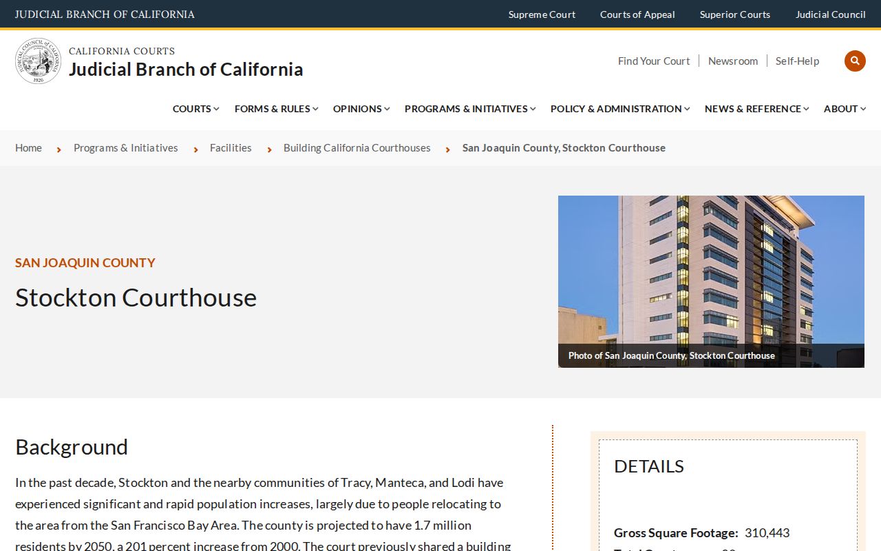
Use the courthouse as a named institution, not as evidence that every nearby postal address shares its boundary or record channel.
ZIP Fields in Stockton Data
The research did not locate a documented ZIP-wide mode in the San Joaquin Assessor's three-field form. That absence is important. A person seeking every parcel or resident in a ZIP cannot assume the county portal will produce a complete roll. The address mode must be used parcel by parcel, or a records request must identify an existing dataset and a lawful purpose.
Stockton's Issued Permits dataset can be filtered, exported, or queried through OData and API tools. If a ZIP is present in an address field, it may help sort the project rows. The output still describes permits, dates, statuses, and contacts. It does not prove who lives at each address.
Voter-file access is also purpose-limited under Elections Code sections 2180 through 2194.1. My Voter Status is a personal check. A public voter-file application requires an approved purpose and certification. That rule prevents a ZIP code directory from becoming an unrestricted name-and-address file.
ZIP Codes Versus Stockton City Limits
A Stockton mailing address may fall outside incorporated Stockton, especially in ZIP 95212 or 95215. A city address may use a ZIP associated with a broader postal city. Postal preferred-city text comes from USPS routing. Municipal status comes from parcel and boundary GIS. A neighborhood polygon comes from the General Plan. These labels should not be merged.
The physical situs is the parcel's location. The mailing address is a tax or correspondence destination. The legal description is the title key. An APN is the Assessor identifier. A PO box and unique ZIP are postal clues, not residence evidence. A good Stockton ZIP code directory result states which geography it is using.
Boundary check. Validate the mailing form with USPS, then validate city or county jurisdiction with parcel GIS before requesting a record or naming a neighborhood.
The result may be a postal match with no city-limit match. That is not an error. It is the reason ZIP code directory work belongs beside, not instead of, parcel and street research.
Note: A postal city can extend beyond Stockton's incorporated boundary, especially near rural and growth fringes.